Today, remote sensing technology combined with geospatial analytics is becoming a safe, accurate, and low-cost approach to automate operations, that can provide critical insights faster and more affordably then traditional inspections. Whether it is managing vegetation, monitoring or planning assets, or responding to a weather event, utilities increasingly turn to L3Harris, the firmly established...
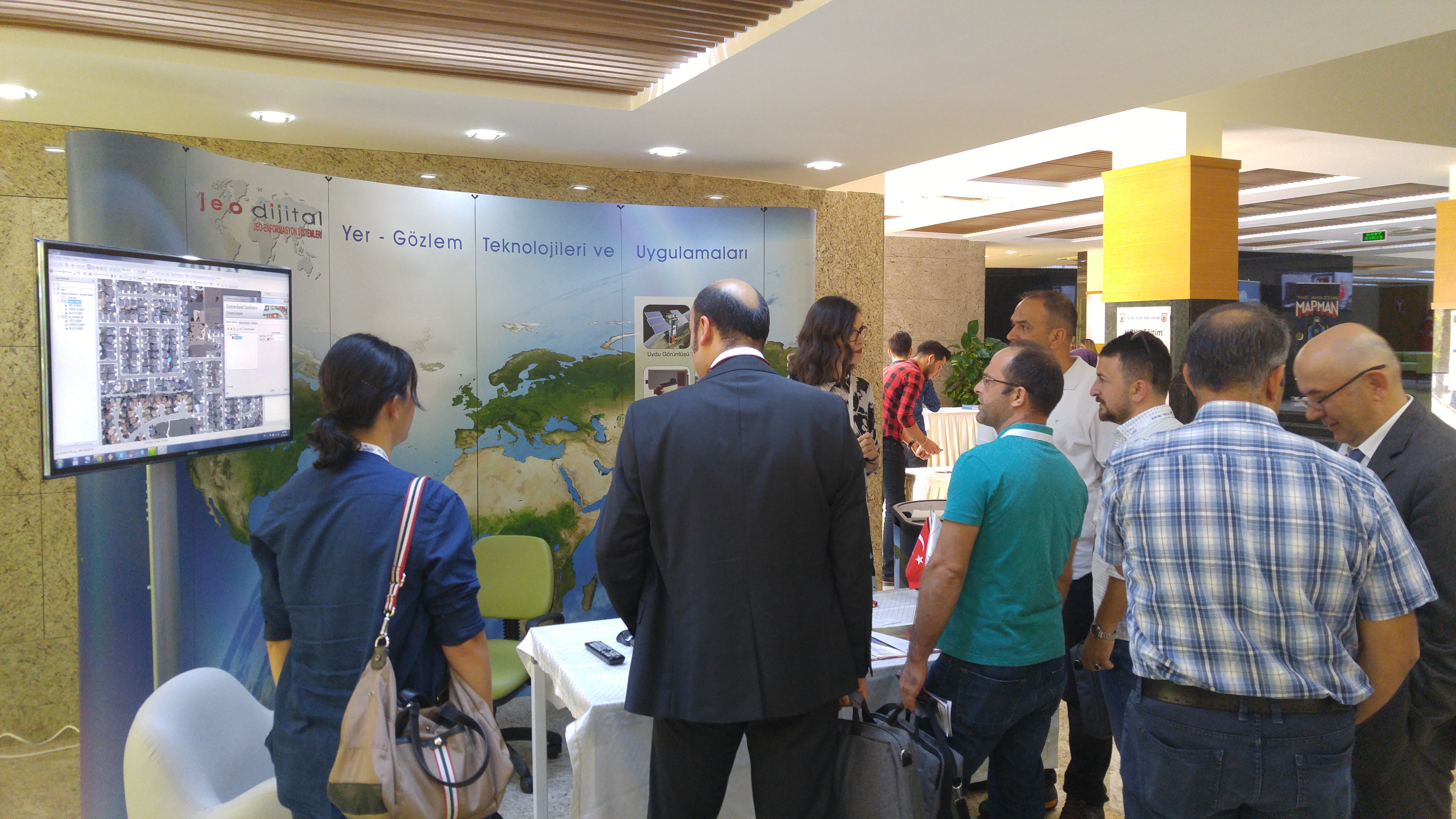
The seventh “Remote Sensing and Geographical Information Systems Symposium” hosted by Anadolu University was held between 18-21 September 2018 with the contributions of many participants from many institutions and organizations of Turkey. We would like to thank you for your interest in the Jeodijital stand at the symposium.
In this recorded session from EAS 2017, Dr. Daniela Moody (DesCartes Labs) presents results from an ongoing effort to develop satellite imagery analysis tools that aggregate temporal, spatial, and spectral information that scale with the high-rate and dimensionality of imagery being collected. Focuses also on the problem of monitoring food crop productivity across the...
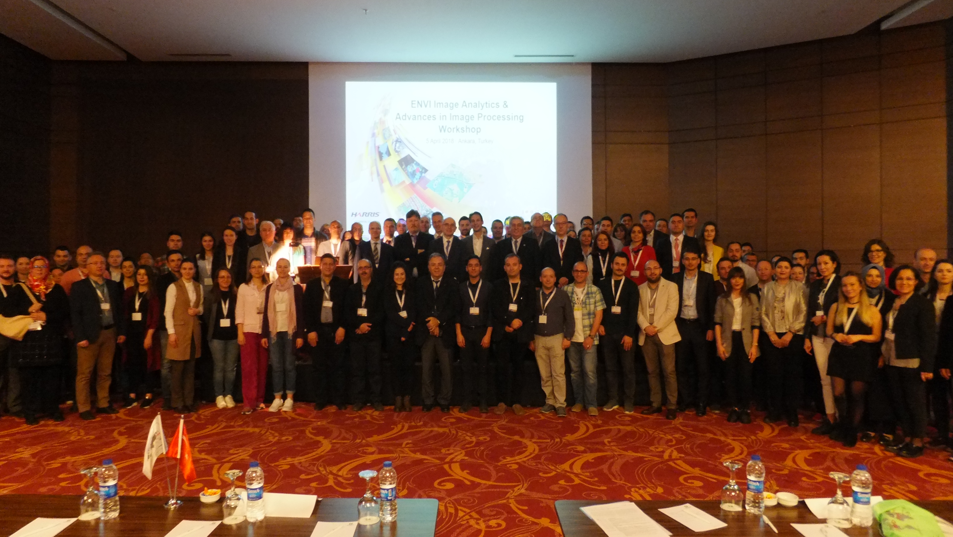
JEODİJİTAL ve HARRIS Geospatial işbirliği ile 5 Nisan 2018 tarihinde uzaktan algılama, coğrafi bilgi teknolojileri ve jeomekansal veri uzmanlarının katılımı ile düzenlenecek bu teknik çalıştayda, ENVI görüntü analizleri, sayısal görüntü işlemedeki yenilik ve gelişmeler ile uygulama örneklerini uzmanlarından öğrenme fırsatı bulacaklardır. Bu bir günlük teknik çalıştayda kamu, tarım, orman, enerji ve doğal kaynaklar, çevre,...
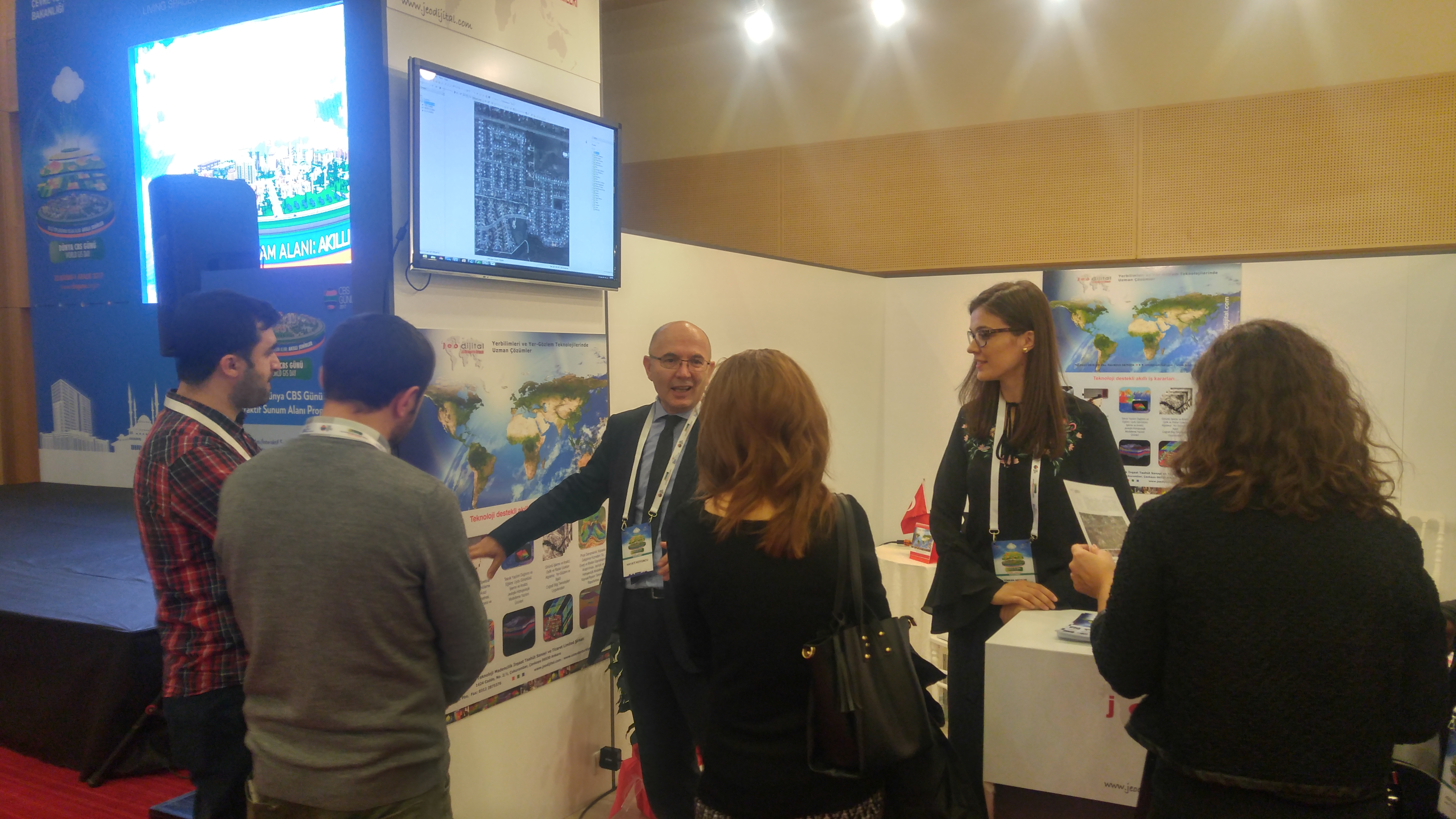
30 Kasım-1 Aralık 2017 tarihleri arasında düzenlenen Dünya CBS Günü-2017 etkinliğindeki standımız ve sunumumuzdan kareler…

Çevre ve Şehircilik Bakanlığı’nın ev sahipliği yaptığı, 30 Kasım – 1 Aralık 2017 tarihlerinde, Ankara Congresium ATO Uluslararası Kongre ve Sergi Sarayı’nda gerçekleştirilecek olan Dünya CBS Günü etkinliğindeki standımızda sizlerle bir araya gelmekten mutluluk duyacağız..
Şirket yöneticimiz Dr. Hayati Koyuncu, Hollanda Havacılık ve Uzay Merkezi (NLR) tarafından 31 Ekim-1 Kasım tarihleri arasında Amsterdam’da gerçekleştirilen çalıştaya bir sunum ile katılım sağlamıştır.
The training for Ufuk 2020 program preparers or Ufuk 2020 project executives, which JeoDigital participated as a guest, was held in Istanbul on 21 October 2016.
Çukurova Üniversitesi ev sahipliğinde altıncısı gerçekleşen “Uzaktan Algılama ve Coğrafi Bilgi Sistemleri Sempozyumu”