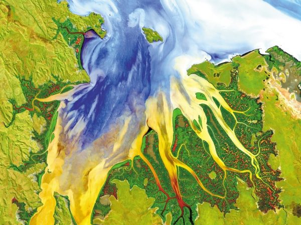
Today, remote sensing technology combined with geospatial analytics is becoming a safe, accurate, and low-cost approach to automate operations, that can provide critical insights faster and more affordably then traditional inspections. Whether it is managing vegetation, monitoring or planning assets, or responding to a weather event, utilities increasingly turn to L3Harris, the firmly established...
UZAKTAN ALGILAMA & YER-GÖZLEM TEKNOLOJİLERİ ÇÖZÜMLERİ
Görüntü işleme-analiz yazılım çözüm ve hizmetleri
