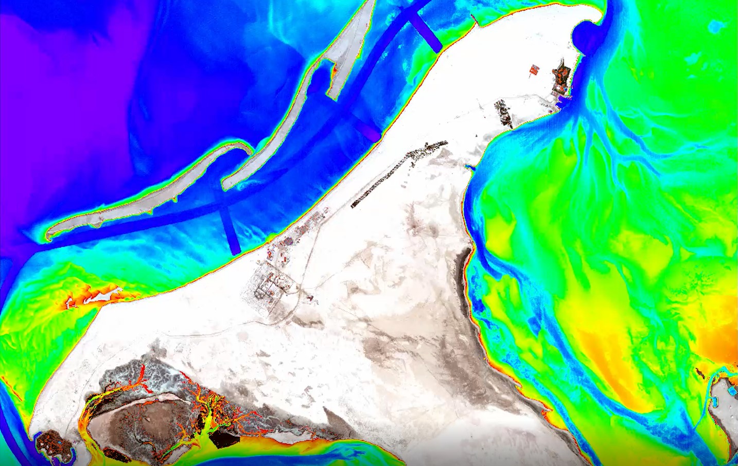
JeoDijital holds an archive of various regional and world-wide geospatial data sets. The scales range from local, very high-resolution map information to global data. We have developed or offers through international sales agreements the following products:
- Application based EO imagery selection, satellite-tasking, provision, processing and analysis services
- Image maps and mosaics
- Land use / Land cover & clutter maps
- Digital Elevation Models(DTM), Digital Surface Models(DSM)
- Mineral, oil&gas and natural resources exploration data sets and maps


