What We Do

EO & Geospatial Data

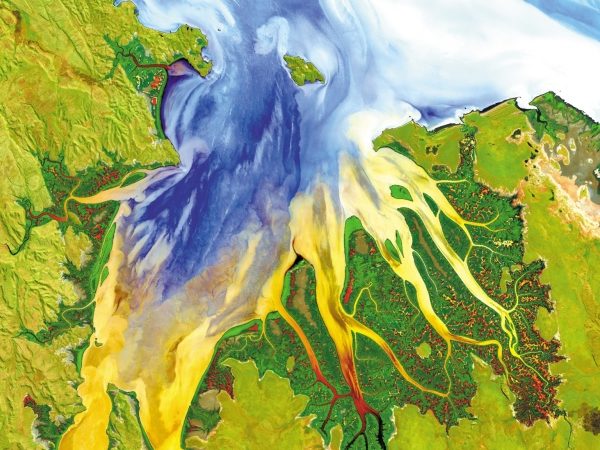
Multi source-multi purpose satellite imagery provision and processing services

Remote Sensing & GIS

Image processing-analysis software solutions and services
3D Geological Modeling

3D geological modeling of groundwater, mineral and energy resources

Technical Software

ENVI & IDL - eCognition - Global Mapper

Project Consultancy

JD is able to deliver computer-aided accurate solutions and turn-key project consultancy and capacity building services

Training Services

JeoDijital offers training, implementation and technical support for the software products and solutions offered

Selected Projects & Works

Earth Observation technologies supported intelligent business solutions

Leadership

The experience sought in Earth Observation and Geosciences - JEODIJITAL has been successfully carrying on its activities in Turkey and neighboring geographies since 2000, under the leadership of an internationally experienced expert management team.:

News & Events

L3Harris Geospatial Webinar “LEVERAGE REMOTELY SENSED IMAGERY TO AUTOMATE ASSET MANAGEMENT AND PLANNING” Thursday | September 26 | 2019

Today, remote sensing technology combined with geospatial analytics is becoming a safe, accurate, and low-cost approach to automate operations, that can provide critical insights faster and more affordably then traditional inspections. Whether it is managing vegetation, monitoring or planning assets, or responding to a weather event, utilities increasingly turn to L3Harris, the firmly established...

UZAL – CBS 2018

The seventh “Remote Sensing and Geographical Information Systems Symposium” hosted by Anadolu University was held between 18-21 September 2018 with the contributions of many participants from many institutions and organizations of Turkey. We would like to thank you for your interest in the Jeodijital stand at the symposium.

Earth Observation technologies supported intelligent business decisions