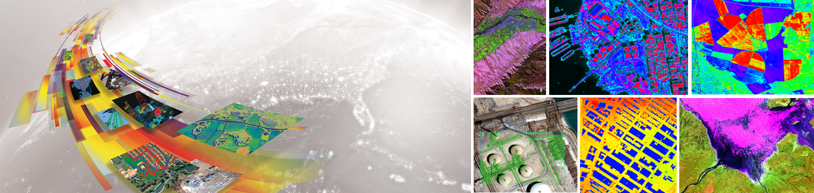
Today, remote sensing technology combined with geospatial analytics is becoming a safe, accurate, and low-cost approach to automate operations, that can provide critical insights faster and more affordably then traditional inspections. Whether it is managing vegetation, monitoring or planning assets, or responding to a weather event, utilities increasingly turn to L3Harris, the firmly established...
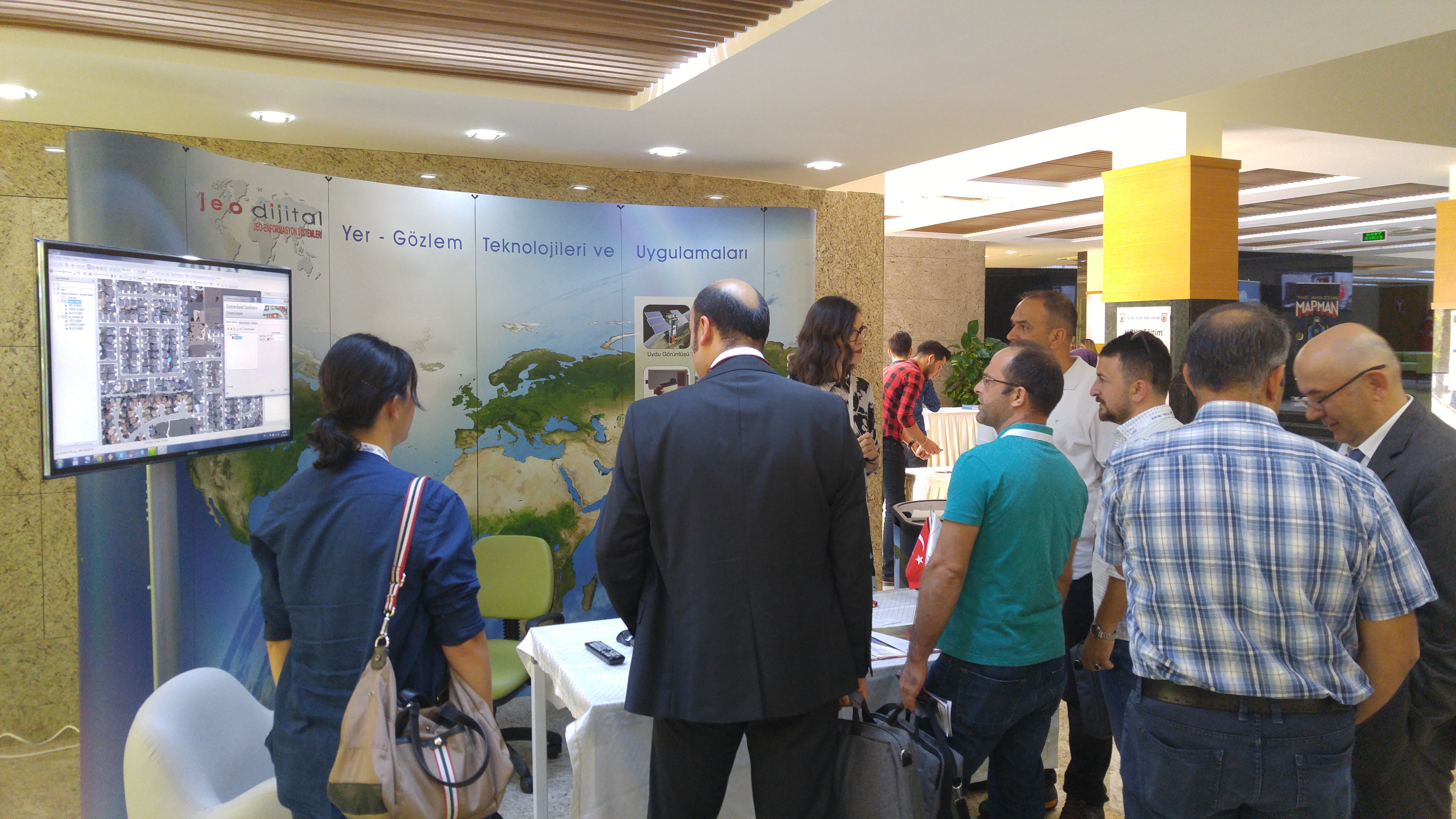
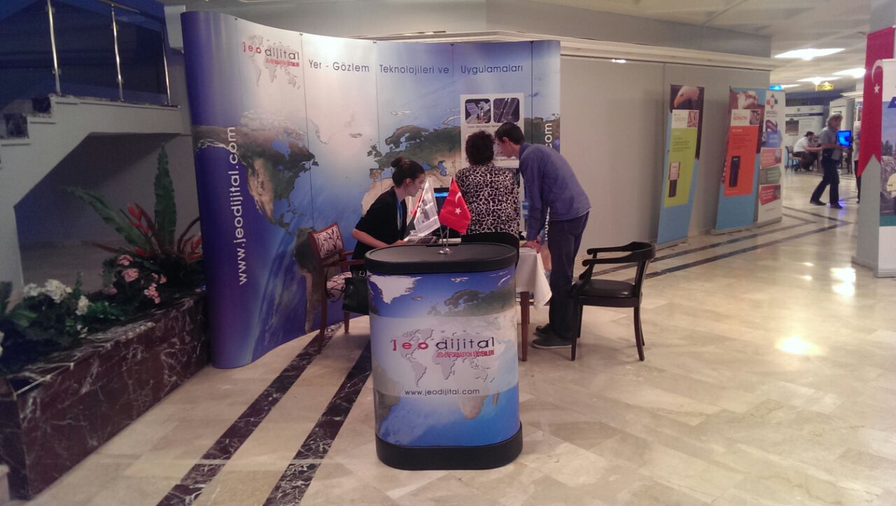
The seventh “Remote Sensing and Geographical Information Systems Symposium” hosted by Anadolu University was held between 18-21 September 2018 with the contributions of many participants from many institutions and organizations of Turkey. We would like to thank you for your interest in the Jeodijital stand at the symposium.
In partnership with HARRIS Geospatial and JEODİJİTAL, we will be facilitating an invitation only technical workshop in Ankara on Thursday 5th April 2018 with an agenda on the latest developments with ENVI Analytics, and advances in digital image processing. Topics will also include presentations and real-world applications for civil government, agriculture, forestry, energy and natural...
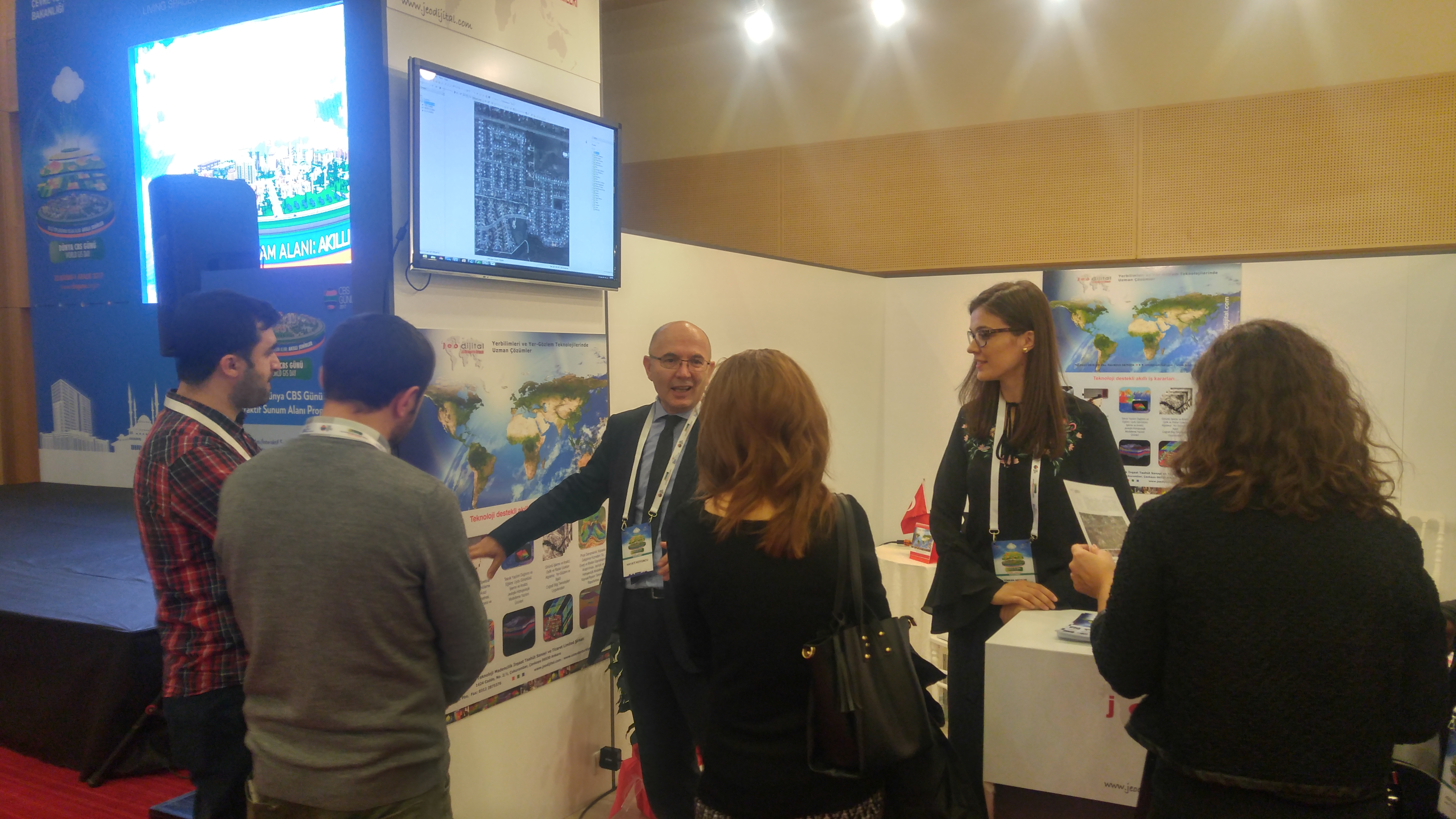
Frames from our stand and presentation at World GIS Day-2017 event, organized between November 30 and December 1, 2017, …

Getting ready for World GIS Day in Ankara, 30 Nowember-1 December 2017. We will be glad to see you in our booth hall!
Our company director, Dr. Hayati Koyuncu made a presentation at the ‘Workshop for Collaboration in Horizon2020-NLR’ held in Amsterdam, 31 Oct.-1 Nov. 2016.
The training for Ufuk 2020 program preparers or Ufuk 2020 project executives, which JeoDigital participated as a guest, was held in Istanbul on 21 October 2016.
The sixth “Remote Sensing and Geographical Information Systems Symposium”
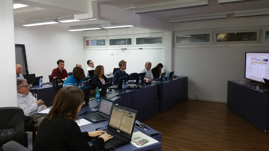
In this course participants learnt how to use the SARscape module of ENVI to generate meaningful SAR products from different kinds of SAR data. The course was held in Switzeland.
Turkey National Photogrammetry and Remote Sensing Association Symposium was held in Konya between 21-23 May 2015 with Selçuk University hosted. JeoDijital attended the symposium by taking part at the exhibition.