The seventh “Remote Sensing and Geographical Information Systems Symposium” hosted by Anadolu University was held between 18-21 September 2018 with the contributions of many participants from many institutions and organizations of Turkey. We would like to thank you for your interest in the Jeodijital stand at the symposium.
In this recorded session from EAS 2017, Dr. Daniela Moody (DesCartes Labs) presents results from an ongoing effort to develop satellite imagery analysis tools that aggregate temporal, spatial, and spectral information that scale with the high-rate and dimensionality of imagery being collected. Focuses also on the problem of monitoring food crop productivity across the...
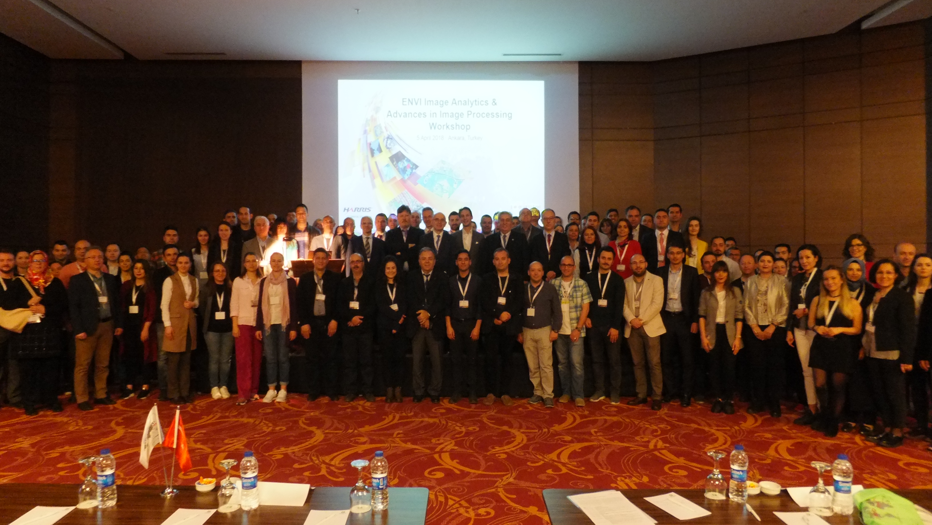
In partnership with HARRIS Geospatial and JEODİJİTAL, we will be facilitating an invitation only technical workshop in Ankara on Thursday 5th April 2018 with an agenda on the latest developments with ENVI Analytics, and advances in digital image processing. Topics will also include presentations and real-world applications for civil government, agriculture, forestry, energy and natural...